Modeling is essential in the construction industry for planning projects, communicating ideas and ensuring work gets done correctly. Construction professionals have used two-dimensional (2D) site plans for these purposes for some time, but more recently, three-dimensional (3D) modeling has emerged as an updated approach. Which should you use for your next project?
JUMP TO SECTION
Understanding 2D vs. 3D Modeling: Key Differences and Insights
2D and 3D modeling involve similar processes, and you can create both 2D and 3D models using computer-aided design (CAD), a set of software tools that assists designers in creating virtual models of structures, machines, components and other objects. However, 3D modeling takes things a step further by adding another dimension, as well as more information and capabilities. What is the difference between 2D drawings and 3D models?
Fundamentals of 2D Modeling in Construction
2D modeling involves creating blueprints, drawings and plans in two dimensions. These documents can describe the basic layout of a site, and where objects are placed, but they don’t include the dimension of depth. These 2D plans can be created on paper or in computer programs that are designed for creating models in two dimensions.
Exploring the Dimensions of 3D Modeling
The major difference between 2D and 3D modeling in CAD is that 3D modeling adds a third dimension. This means that 3D models contain more information than 2D models. They represent the finished site as it will look in real life. 2D models, on the other hand, provide valuable information, but viewers are left to imagine what the final product will look like. 3D models are created in advanced computer programs and incorporate data from Light Detection and Ranging (LIDAR) equipment, the Global Positioning System (GPS) and aerial photogrammetry. 3D models can contain a wide range of information types and can be used for grading, site layout and other purposes, in addition to the uses of 2D modeling.
Related Article: The Ultimate Guide to 3D Modeling in Construction
Drive Your Project’s Success with Precise 3D Models
At TOPS, we cater to your unique needs with accurate earthwork estimates and critical 3D data. Whether your project is large or small, our models help ensure increased efficiency and accuracy for successful completion.
Opting for 2D in Site Modeling and Land Surveying: Scenarios and Benefits
While 2D modeling is an older technology, and many businesses have begun to replace it with 3D modeling, it is still valuable in certain situations. Some of the reasons a company might decide to use 2D modeling include the following:
Overviewing Landscapes with 2D Site Models
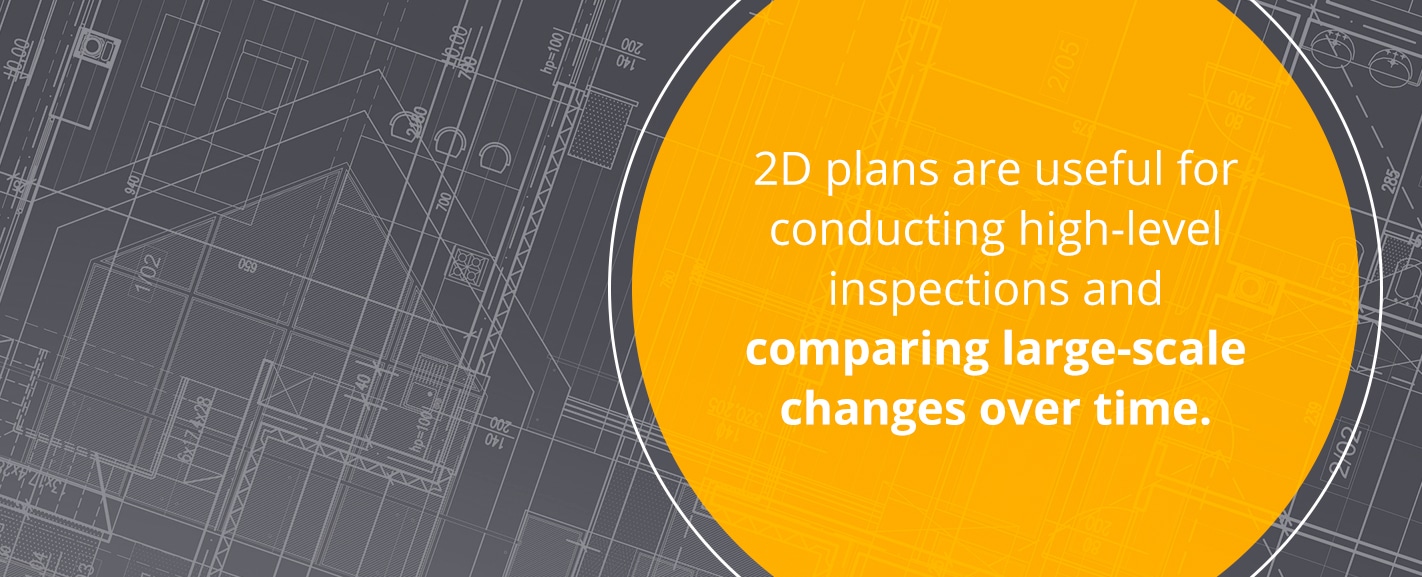
2D maps are useful for broad overviews of sites. They offer a simple, easy-to-read representation of what your site looks like from above. While they don’t include as much detailed information, 2D plans are useful for conducting high-level inspections and comparing large-scale changes over time. They’re usually high-resolution and zoomable, which allows you to inspect various parts of a project closely. If you want to give someone a simple overview of a site or project progress, you can quickly create a 2D map to meet those requirements.
Simplified Measurements with 2D Modeling
2D plans can also be useful when you just need simplified measurements. You might not necessarily need three dimensions for certain types of measurements, and creating a 2D map allows you to find them quickly and bypass the 3D measurements you don’t need. If you only need a cut and fill number for a certain location on a job site, for example, you can easily find this information with a 2D map. This capability is useful for making quick but accurate decisions in the field.
Compatibility Considerations for 2D Survey Equipment
Another reason that companies use 2D models instead of 3D models is that their equipment is not yet able to handle 3D files. As 3D modeling technology becomes more common, this problem is becoming less prominent, but it may still be a concern for certain firms. Some companies may not want to use 3D models at all for this reason, while others might use 3D models in the office but use 2D models in the field on handheld devices that may not work well with the 3D models. It’s important to note, though, that some handheld devices can handle 3D models, and many 3D modeling programs allow you to download models so you can use them anywhere, even if you’re offline. Many sites and computers do have the ability to display 3D modeling, but companies that are using older systems may not want to upgrade to avoid the upfront costs of new or upgraded equipment.
The Advantages of 3D Site Modeling and Land Surveying
3D site modeling offers capabilities that go well beyond those offered by 2D modeling, so it’s a smart choice in many situations. Some of the reasons you might choose to use 3D site modeling include:
Achieving Realistic Visualizations with 3D Models
3D models represent sites in a way that is true to how they will look in real life. While 2D models can explain the concept behind a plan, it requires some interpretation to determine how the project will look once completed, which can result in different parties having slightly different ideas about a project’s outcome.
3D models, however, show sites exactly as they really look, which ensures that everyone can easily understand the plan and helps keep all parties on the same page. With 3D models, every stakeholder, from engineers to owners to machine operators, can intuitively understand what the result of a project will look like.
You can even adjust 3D models to show what the site will look at different stages of the project or offer several variations on a plan, all in the form of a realistic, easy-to-understand visual.
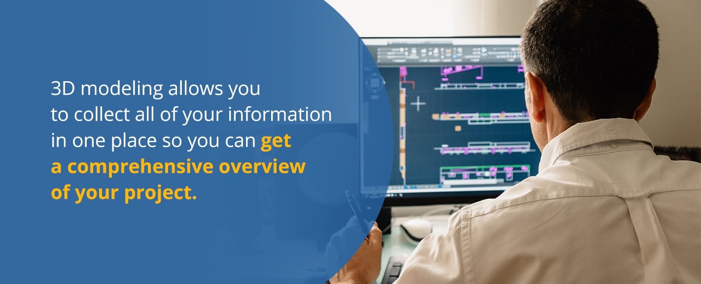
Gaining In-depth Site Information Through 3D Modeling
While 2D models are useful for when you want a simple view of only specific types of measurements, 3D models are valuable because they can include a much wider array of project information. 3D modeling allows you to collect all of your information in one place so you can get a comprehensive overview of your project.
With 3D modeling, you can include basic site layout, grading, utility lines, landscaping and more all in one model. This capability allows you to see how different elements interact and see what a project will look like at various stages. You can also look at different layers of a model and explore it from different angles to get a more complete picture of a plan.
These features can help you to check that plans are accurate and feasible and ensure that you follow plans closely as you work. It’s also useful for costing and timeline estimating, as the increased volume and detail of information allows for more accurate estimating.
3D models can also help you to take more precise measurements because you can navigate around elements and view them from different angles. It’s easier to distinguish between various elements and ensure you measure them correctly in 3D than in 2D. Even 2D measurements, such as cross-sections, are easier to take when displayed in a 3D environment.
Implementing 3D Models for Advanced Machine Control
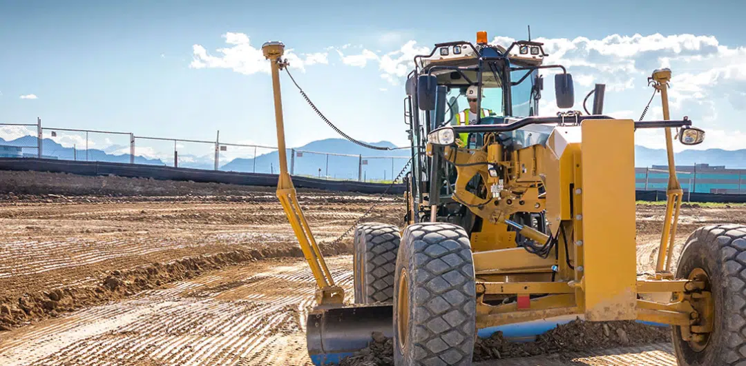
One of the most valuable uses of 3D models is machine control. Machine control involves the use of positioning sensors, such as GPS survey systems, sonic tracers, rotating lasers and total stations, to guide machines. These machine control systems use the information from 3D models to determine where exactly on a site a machine should be, the position a machine’s bucket or blade needs to be in and target grades. Sensors on the machinery communicate with the onboard computer, which is loaded with a 3D model of the project, to ensure the project is completed accurately.
In addition to increasing accuracy, the use of 3D model machine control enhances machine productivity and efficiency, reduces machine-related and raw material costs, eliminates the need for ongoing grade checking and increases worker efficiency. It automates significant portions of work and can take the place of traditional methods like the use of surveyor’s stakes.
Virtual Site Inspections and Walkthroughs via 3D Models
Creating a 3D model of a project also allows you to conduct virtual inspections and walkthroughs. Having a 3D model of a site available enables you to conduct thorough inspections of various aspects of your site from multiple angles without having to physically be at the site. You can also conduct virtual walkthroughs in a similar fashion to show others your site or update them on the progress of a project.
Facilitating Remote Communication with 3D Site Models
3D models make communication easier, as they enable you to include more information in one document and present it in an easy-to-understand format. Everyone can have access to the same information and see it in a way that makes the information clear so everyone is on the same page. This capability helps ensures that the results of a project meet everyone’s expectations. You can communicate with various parties using 3D models even if they’re all in different locations.
If not every party involved in a project is using 3D models, you may have to convert information back and forth between 2D and 3D. When a model is converted to 2D, it won’t contain as much data, meaning some information may become lost in the process. Converting the model makes communication more complex and susceptible to error.
Ensuring Precise and Accurate Measurements in 3D
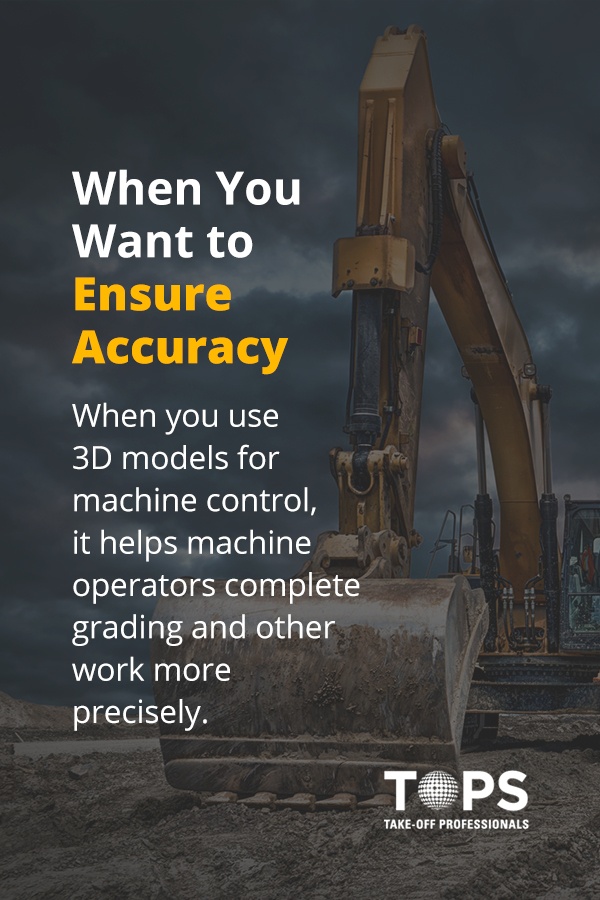
3D models can help ensure accuracy in various ways. It can make communication clearer and easier. It collects all of the information in one place. When you use 3D models for machine control, it helps machine operators complete grading and other work more precisely.
3D modeling can also help to reveal issues with plans before work on a project begins. Because a 3D model creates a realistic interpretation of what a completed project will look like, it’s easier to spot clashes or inconsistencies. You can look at a 3D model from various angles and check that the design is accurate and realistic. Because you can see more information in one model, you can also see where elements clash, such as electrical lines that a plan shows running through rock in the ground. With a 3D model, it’s easier to spot and correct a variety of potential issues.
Deciding on the Best Modeling Approach for Your Project
So, how do you know whether a 2D or 3D model is right for your next project? You’ll need to consider certain aspects of the project, what technologies are available to you, what your partners are using and various other factors.
It’s important to keep in mind that, for many projects, using both 2D plans and 3D models may be useful. That way, you have both a simplified document and a more detailed model that you can reference as needed.
When deciding what type of model to use for a project, consider the following factors:
- The complexity of your project: If your project is relatively simple, you may be able to just use 2D plans. Because 3D models can contain and communicate more information, the more complex your project, the more important it is to use a 3D model. While even simple projects could benefit from a 3D model, with more detailed projects, there is a greater need for 3D modeling.
- The information you need: With 3D models, you can include more types of data. 2D models can only accommodate two dimensions, while 3D models can also account for depth. It’s also easier to include various other types of information in a 3D model, such as information about costs or utility lines. In general, the more information you have, the more useful 3D modeling will be to you.
- How you plan to use the data: If you want to use your data for machine control, a comprehensive inspection or a virtual walkthrough, you’ll need to use 3D modeling. A 2D model cannot accommodate these more advanced uses.
- The technology being used: Consider the technologies any partners on the project are using. If others are using 3D modeling, it may be beneficial for you to use it as well, as this will make communication and collaboration easier. Also, think about what technologies are readily available to you. For example, are your machines already wired to work with machine control based on 3D models?
- Costs: Costs are always an important consideration for construction projects. 3D modeling may come with a higher upfront cost than 2D plans, especially if you need to invest in equipment before you can take full advantage of it. However, it’s important to consider the cost savings that using 3D modeling can provide over the long term due to increased efficiency and accuracy. Also, consider the costs of using outdated technology and the possibility that competing firms may be using more advanced technology.
- Consult with an expert: It’s also helpful to consult with an expert in construction and modeling. They may be able to help you determine the right technologies to use for your project.
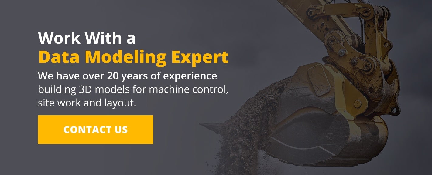
Partner with a Specialist for Advanced Data Modeling Solutions
At Take-Off Professionals, our team of licensed engineers, surveyors, and 3D data modeling experts create, on average, 1,000 machine control models each year. We have over 20 years of experience building 3D models for machine control, site work, and layout, as well as providing earthwork takeoffs. We provide detailed quotes and accurate turnaround times and can prepare your data any way you need it. Contact us today to discuss how we can help you win more bids and complete projects with increased efficiency and accuracy.