3D Utilities Models
Trust in the TOPS team to gain reliable insight into your site’s underground layout.
Unlock Subsurface Insights with Innovative 3D Utilities Modeling Services
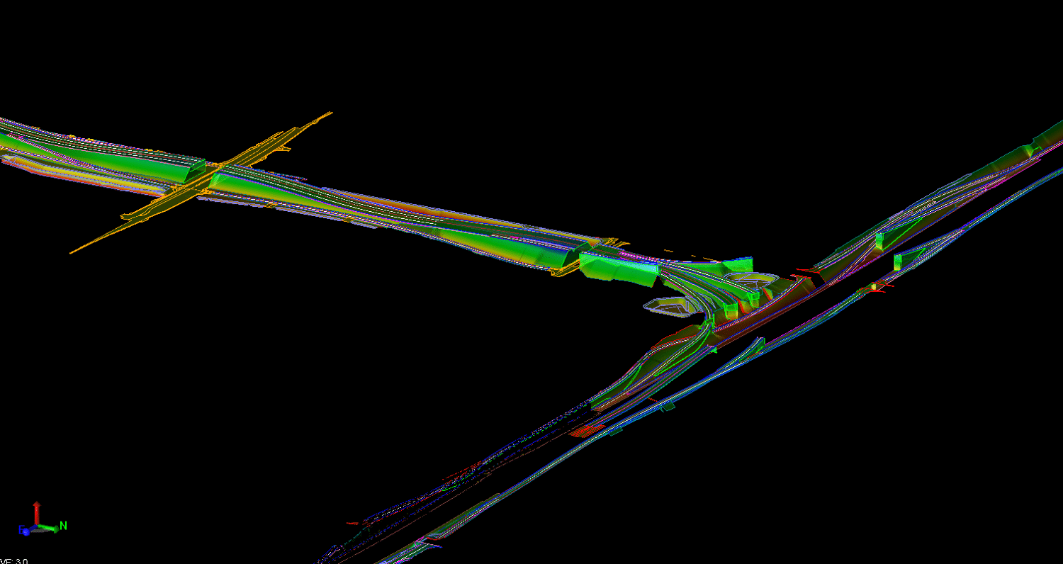
Engineering projects require significant planning and data preparation to ensure efficiency and success. At TOPS, our qualified professionals deliver innovative 3D utilities modeling services to provide insight into your site’s underground landscape. With these technologies and strategies, we can transform collected 3D spatial data and images into a meaningful visualization your team can leverage to inform your operational procedures and protocols.
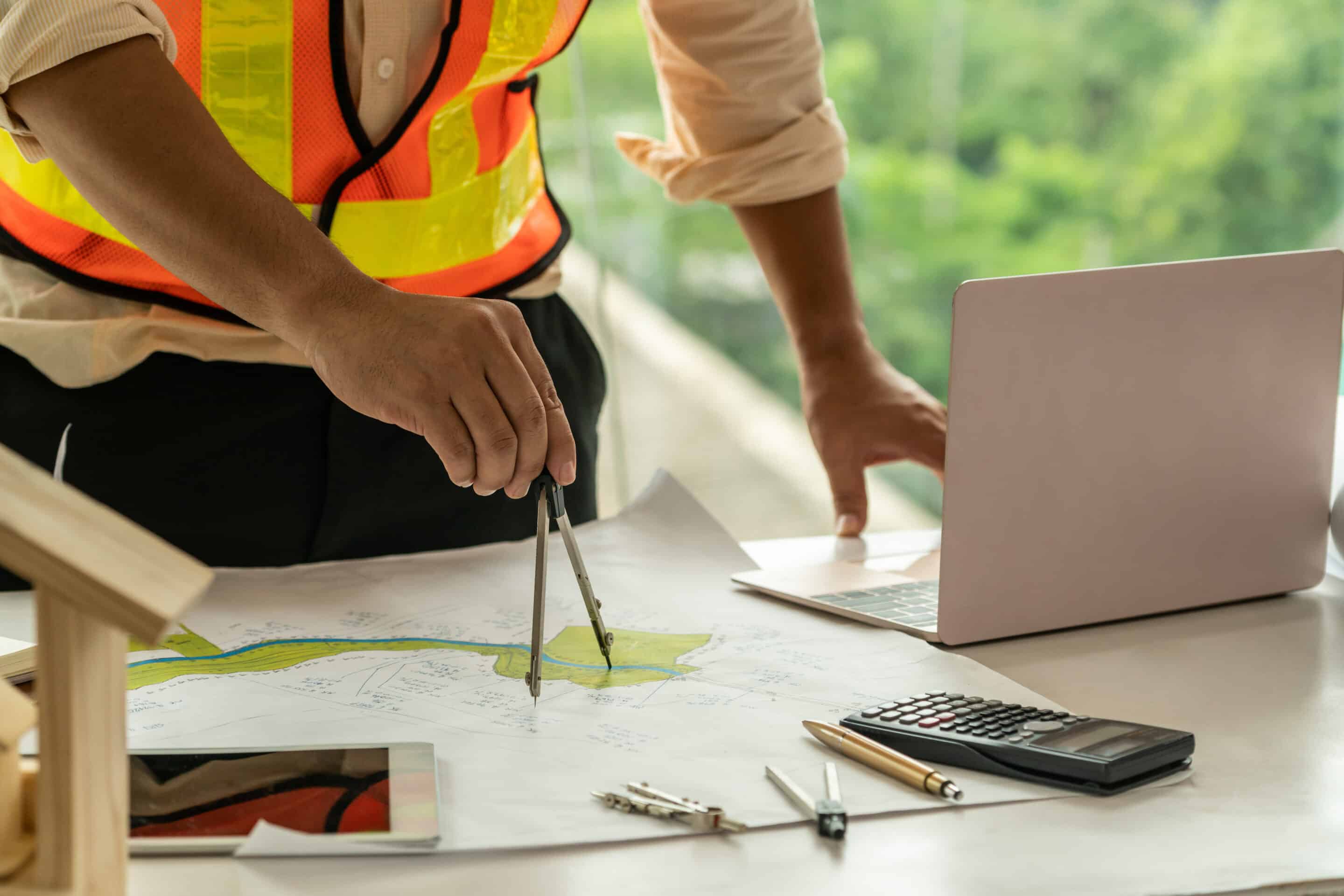
TOPS provides personalized 3D modeling services to adhere to your project scope and demands. We strive to become a devoted partner for your project, supplying exceptional data backed by expert support. We’ve worked with organizations across numerous industries in various stages of their job and designed unique models to meet each client’s project demands. Let our team build your data so you can get back to what matters — running your business.
Call us at 623-323-8441 to speak directly with a member of our team.
Request A Free Quote
Understanding 3D Utilities Data
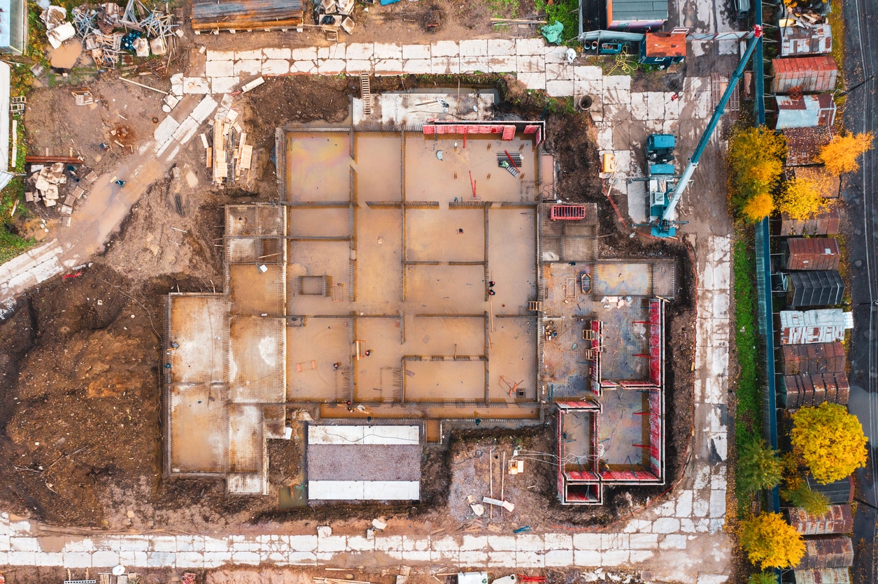
Utility mapping is the intricate process of locating and identifying subsurface objects. Much of our world’s infrastructure lives beneath our feet, responsible for delivering water, electricity, and other services to keep our communities running efficiently. Using advanced tools, including ground penetrating radar and computer-aided design (CAD) programs, construction and surveying professionals can create informative underground visualizations to inform their projects and optimize success.
Construction, mining, excavation, urban planning and telecommunications applications rely on advanced utility mapping to create transparent images of their work sites and see exactly what’s underground. Professionals in these industries need to know the layout of their subsurface to avoid accidentally damaging wiring or piping, which could lead to injuries, environmental damage or extended interruptions. Advanced utility maps provide insight into objects like:
- Water supply lines
- Gas pipelines
- Sewer systems
- Telecommunication systems
- Fiber optics
- Electric lines
The Process of Creating 3D Utilities Models
Understanding your project site’s above-ground features is half the battle. Utility data visualizations are crucial assets providing valuable insight into subsurface elements that may impact the success of your project. Before creating any 3D model, the first step is to outline your project scope and needs. Determine what kind of information you require, enabling a more focused and intentional data collection process. With a better idea regarding the required information, you can start to make informed decisions to create useful 3D utility models.
3D Utilities Data Collection
Initial data collection begins with an investigation into existing site records, as-built drawings and historical maps. Once on site, surveying professionals utilize various technologies and software to generate a subsurface visualization successfully. Electromagnetic induction (EMI) is a common strategy used to locate objects within various soil types and terrains. This approach uses transmitters to send low-frequency electrical currents to create magnetic fields and identify existing ones. It then uses a receiver to trace the position and depth of objects.
Ground penetrating radar (GPR) is another popular subsurface data collection strategy relying on high-frequency electromagnetic waves. This noninvasive surveying method provides professionals with precise data regarding the location, dimensions, depth, and thickness of underground objects. GPR technology is highly maneuverable, often in the form of a computer, antenna and display mounted onto a pushcart. As the pushcart moves over an object on concrete, pavement, grass or asphalt, waves bounce back to the antenna before being displayed on the screen for immediate interpretation.
3D Utilities Data Analysis
For accurate analysis, collected subsurface data must be imported into specialty software to enable effective investigation and interpretation for fuel decision-making applications.
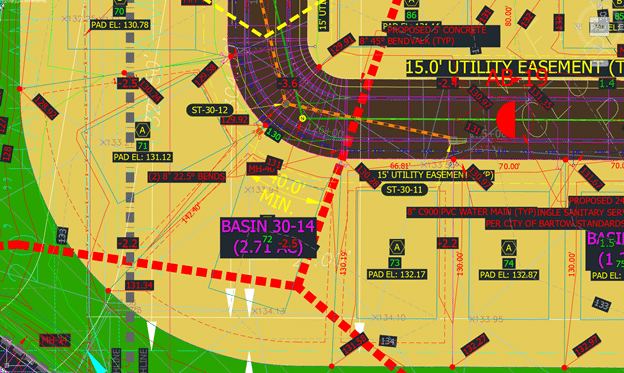
These innovative tools, like CAD programs and geospatial information systems (GIS) software, empower professionals to concentrate all their data into a single, user-friendly environment for an organized and cost-effective workflow. Once imported, technicians can draw point and area features, add tags, create layers of GPR and EMI locator data and log everything that happens in the field. Analyze complex geometry and extract valuable insights into position and depth to drive greater success.
Digital workflows with intelligent software and technology allow all stakeholders to have a hand at each project stage. This real-time collaboration allows professionals to conveniently identify and address potential concerns before they affect budgets or timelines. These types of programs allow for routine changes, ensuring teams work from an updated set of plans. With uninterrupted access to high-quality data and streamlined exporting capabilities, your team will be ready to break ground confidently.
Ready to discuss your project?
Benefits of 3D Utilities Modeling
Utility maps identify the locations of specified objects, including pipes, telecommunication cables, wires, gas and water mains and other underground objects. Generating these informative 3D models can give you a transparent view of your work site so you can work confidently and avoid potentially costly mistakes when breaking ground. Unique benefits of leveraging these tools include:
- Strengthen decision-making: 3D utility models combine large volumes of site data into a single, easy-to-understand visual to facilitate straightforward analysis. This high-quality information regarding the underground landscape will improve your accuracy and decrease the risk of rework requirements and additional expenses.
- Apply to any application: Utility modeling is a versatile, site-specific solution that allows your team to obtain high-quality information to propel your project forward. This strategy is common in sectors like building maintenance, vegetation management, urban planning and construction.
- Optimize project schedules: These models can increase efficiency, minimizing the hours you spend on the job. As a result, you’ll see greater profit margins and have a unique selling point to attract more clients.
- Inform detailed simulations: Leverage precise utility models to understand the potential consequences of accidents on the job. Running risk management simulations fuels a dynamic view of your job site and allows your project managers to develop meaningful contingency plans to keep activities rolling forward.
Why Choose Our 3D Utilities Modeling Services
Visualize your most complex projects with 3D utilities modeling services from TOPS. We’re a premier data service provider with over 30 years of industry experience and work tirelessly to optimize workflow and propel your operation toward success.
Our expert team is filled with licensed and certified engineers, operators, grade setters, surveyors and technicians striving to become a trusted member of your business. Our versatile staff enables us to take on various project scopes and sizes across many industries and applications. No matter your needs, TOPS will build your data how you want it.
At TOPS, we’ve evolved with technology, empowering our team to approach every project with extreme attention to detail and efficiency. Our investment in our technological infrastructure and software drives our staff to deliver end-to-end service that produces meaningful takeoffs. With innovative tools, we’ve established a valuable track record for completing over 1,000 jobs per year, positioning us as the most cost-effective service provider in the industry.
Three Simple Steps to Begin Your Project
To get started with TOPS, you just need to follow three easy steps:
Step 1: CAD Files
Provide the CAD files for the project in formats like AutoCAD .DXF and .DWG, among others. Files can be uploaded to their FTP site or shipped with the paper plans.
Step 2: Paper Plans
If sending paper plans, they will scan and store them electronically. You can transmit the scans or ship the paper plans.
Step 3: Work Order
Fill out a data prep work order on their website with the details of your scope of work. TOPS can accommodate various needs; just specify how you want the job to look.
We have no association with any manufacturer or system type but provide 3D models for all manufacturers
Contact TOPS to Learn More About Our Services
A high-quality model requires a delicate balance between detail and speed. At TOPS, we understand what’s required to generate 3D utility models to inform your decision-making workflow and ensure a successful project outcome.
Once we receive paper plans, data prep work orders and CAD files, we’ll immediately produce reliable data visualizations informing your team about the placement of water lines, underground piping, telecommunications wires and other objects. Depending on your needs, we can have your data ready within 48 hours to minimize downtime and keep your projects rolling forward.
Interested in getting started? Contact TOPS online to learn more about our advanced utility mapping solutions. If you are still unsure, let us prepare a segment of your site for free. We’ll show you why we’re the nation’s data preparation leader.

