Point Cloud to Mesh Modeling
Transform raw point cloud data into cutting-edge 3D models to optimize project workflows.
Enhancing Project Workflows with Detailed Point-Cloud to Mesh Models
Point cloud to mesh modeling services from TOPS provide a streamlined and efficient solution for creating detailed, high-resolution renderings of products, buildings, and environments. By transforming raw point cloud data into accurate 3D mesh models, we enable professionals to visualize complex structures and spaces with stunning clarity. This process is essential for a wide range of industries, from architecture and construction to engineering and product design, helping bring ideas and concepts to life with precision.
Our advanced data preparation techniques make it possible to capture real-world conditions quickly, accurately, and affordably. Whether you’re working with LiDAR scans, drone imagery, or photogrammetry data, our services are tailored to meet your unique mesh modeling needs. By addressing your specific applications, we ensure a seamless transition from raw data to actionable 3D models, empowering you to streamline workflows, improve collaboration, and achieve outstanding results in your projects.
Call us at 623-323-8441 to speak directly with a member of our team.
Request A Free Quote
Tailored Solutions for Every Industry
At TOPS, we specialize in transforming point cloud data into detailed 3D mesh models, enabling professionals across various industries to optimize workflows and achieve project success. Our point cloud to mesh modeling services provide accurate, high-resolution visualizations that are easier to manage and ideal for a wide range of applications. Here’s how we assist our clients:
Aerial and Land Surveyors
We create precise 3D mesh models from point cloud data to support topographic mapping, boundary assessments, and site documentation, enhancing survey accuracy and efficiency.
Roadwork and Highway
We produce detailed mesh models for road alignments, grading, and drainage systems, ensuring efficient planning and execution of roadwork projects.
Civil Engineering
Our mesh modeling solutions aid in infrastructure projects like bridges and drainage systems, delivering highly detailed visualizations for planning, design, and construction.
Residential Sites
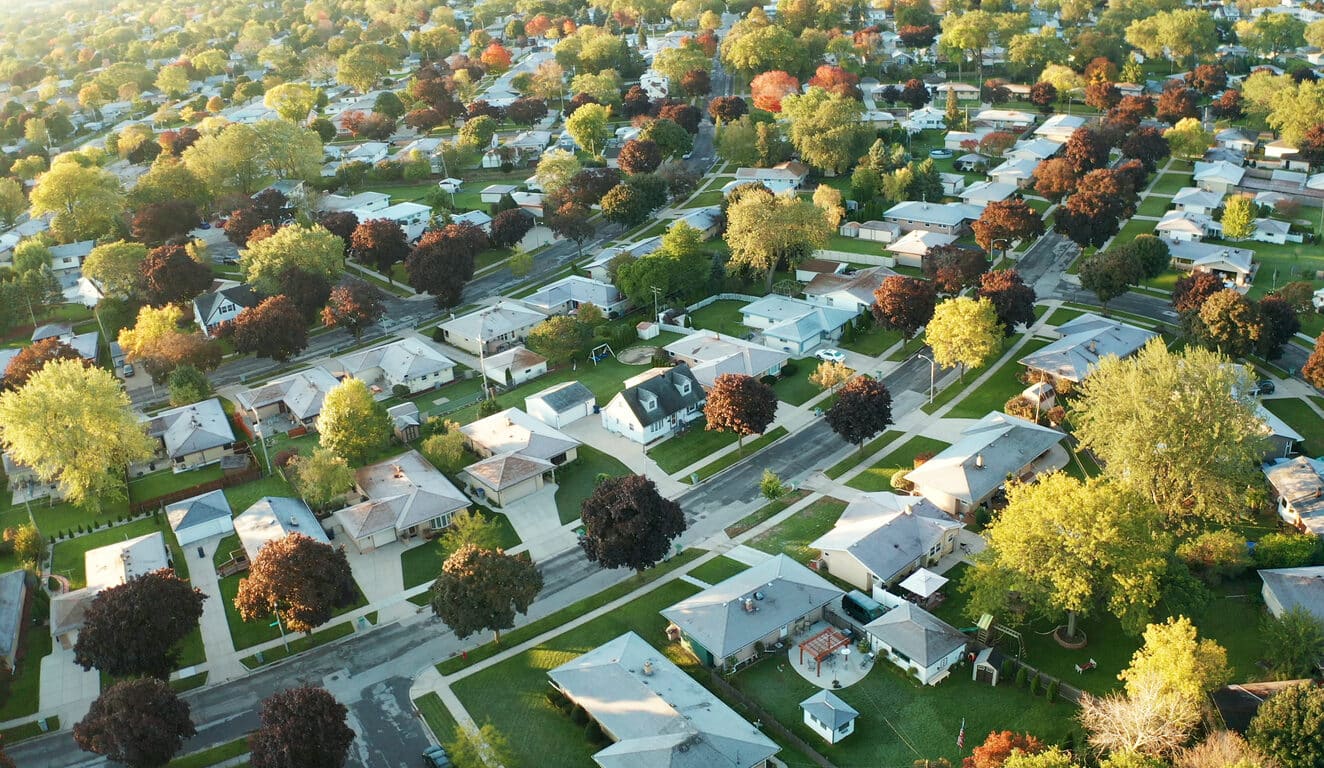
We assist developers by creating 3D mesh models for homes and neighborhoods, enhancing project visualization and supporting efficient design processes.
Commercial Sites
We transform point cloud data into mesh models that streamline site planning, building layouts, and project visualization for commercial developments.
Urban Planning and Development
Our mesh modeling services help urban planners create sustainable, functional designs for thriving communities and infrastructure projects.
Landscape Architecture
Our services provide accurate 3D mesh models for terrain analysis and site layouts, helping architects design functional and visually appealing outdoor spaces.
Utilities and Pipelines
We deliver precise 3D mesh models for pipeline alignment, maintenance planning, and utility infrastructure, ensuring project success and operational efficiency.
What our clients say
Our Process For Point Cloud to Mesh Modeling
Point clouds are vital resources professionals rely on for visual documentation, inspections, engineering, retrofitting and other processes because they offer professionals a more efficient workflow, eliminating the need to return to the site repeatedly. However, these data sets can become large and cumbersome to work with, slowing the end-to-end process. Point clouds can be converted into digestible models, allowing managers to visualize complex information. These clouds can often become slow to load and cumbersome to digitally manipulate due to their size and the quantity of stored data, requiring conversion to user-friendly configurations.
Mesh modeling is a type of building information modeling (BIM) that allows stakeholders to view objects’ geometry with high density and high resolution. Point cloud to mesh conversions combine millions and millions of raw data points into a polygon mesh with vertices, faces, edges and polygons, such as triangles, while being lighter and easier to work with. These shapes and patterns store site characteristics, including location, intensity values, RGB information and other data. Mesh clouds are a valuable solution when dealing with fine details that may be difficult to reproduce within CAD software.
Point Collection of Raw Data Points
Gathering raw data points is the primary step to any successful point cloud to mesh conversion. As mentioned above, scanning and photogrammetry activities are two of the most popular strategies to collect this information. Scanning often leverages light detection and ranging (LiDAR) technologies to study project sites from the ground or in the air. These systems can take hundreds of thousands of pulses every second, capturing highly detailed data relating to an area that professionals can leverage to generate 3D mesh models.
Photogrammetry has existed for centuries, evolving into an effective strategy for learning more about your sites. This workflow relies on multiple cameras to take vertical or tilted pictures of a site from numerous angles. While taking pictures from above is the most popular strategy, professionals can use equipment like Total Stations to gather positional data from the surface. Images are then stitched together to gather measurements regarding features like surface levels, elevation and coordinates.
Preprocessing of the Data
When it comes to construction and surveying projects, accuracy is of the utmost importance. Data preprocessing is a valuable step in your point cloud conversion to transform raw information into a usable format. Regardless of the collection strategy you choose, the information you obtain will likely be misaligned, imperfect or inaccurate. Preprocessing is a crucial step encompassing modifying and improving your data’s condition to ensure its success.
Preprocessing consists of various steps to prepare your datasets for use by your team. One of the first steps is to clean your data, which involves removing noise and duplicates, filling in missing values, identifying outliers and aligning your data to create a cohesive and precise 3D model.
Model Generation
Once your data set meets your standards, you can use it to create your 3D model. Mesh generation uses this information to create a polygonal model complete with vertices, edges and faces. This model can take on almost every shape in unique sizes to meet your project’s requirements. This step usually involves a process known as a surface reconstruction, which fills in the gaps between data points to form a cohesive mesh. These models take shape using advanced algorithms, geometric designs, computational geometry and other processes. A few standard methods include:
- Delaunay triangulation
- Mapping mesh
- Spatial decomposition
- Quadtree mesh
Model Refinement
Post-processing is a crucial step to get the most out of your data. Refining your mesh model will help you prepare it for use and export, addressing concerns with gaps in data and distorted or jagged corners. This step also fills in any holes, smooths out edges and improves its appearance for high-quality, accurate results. Simplification is often used to refine models by decreasing the number of triangles used while keeping their proper shape. This step will reduce the file size and make it easier for professionals to process and utilize them on their tablets or phones. Other post-processing refinement and optimization strategies include:
- Texturing
- Edge flipping
- Adaptive refinement
Ready to discuss your project?
Converting Raw Data to Actionable 3D Models
To get started with TOPS, you just need to follow three easy steps:

Step 1: CAD Files
Provide the CAD files for the project in formats like AutoCAD .DXF and .DWG, among others. Files can be uploaded to their FTP site or shipped with the paper plans.

Step 2: Paper Plans
If sending paper plans, they will scan and store them electronically. You can transmit the scans or ship the paper plans.

Step 3: Work Order
Fill out a data prep work order on their website with the details of your scope of work. TOPS can accommodate various needs; just specify how you want the job to look.
Partner With TOPS for Mesh Modeling Services
If you’re in the market for a point cloud mesh service, TOPS is the best choice for adhering to your project demands. Our company has established and optimized a unique mesh modeling expertise through over 20 years of dedication to the data processing industry. We have developed our service to meet demands for projects of all sizes, and our experts are capable of addressing specific issues by creating personalized point cloud mesh solutions you can leverage to enact meaningful change.
Clients trust our mesh modeling services to deliver accurate documentation and information in record time. The TOPS team consists of licensed surveyors, 3D technicians and engineers with real-world experience you can rely on. We regularly tackle over 450 projects every year — more than what the largest contractors are capable of. Our experts use extensive software knowledge and access to cutting-edge technology to generate high-quality models ready to help you optimize worksite efficiency.
Enhance project visualization
Convert complex data into digestible and visually appealing models to streamline interpretation. Accurate models also optimize stakeholder collaboration to ensure everyone is on the same page.
Accelerate schedules
Engineers and architects receive an accurate picture of the site to increase their all-around performance for various procedures and tasks. Mesh modeling’s efficiency provides greater visibility, which allows project managers to identify potential roadblocks to avoid delays and keep projects on track.
Optimize decision-making
Professionals effortlessly extract meaningful data sets and countless numbers for an in-depth analysis of the entire project. These calculations gathered from mesh modeling facilitate strategic decision-making to understand potential challenges and make changes to prevent expensive alterations down the line.
Improve site safety
3D mesh models enable project managers to evaluate relevant safety risks and create a viable solution. Precise job site models keep employees secure and reduce on-site hazards.
Contact Our Team to Learn More
Working with TOPS simplifies your projects. Our hassle-free service handles the data creation and preparation process, letting your internal staff focus on running your business with confidence. With a copy of your plans, data prep work order and CAD files in hand, our team will get right to work on your point cloud mesh project. We’ll email them back to you quickly, often within 48 hours if required.
Whether you need our team to handle data prep for a portion or all of your site, you can trust the TOPS team to create comprehensive, precise models. Learn more about our point cloud to mesh capabilities by contacting our experts online or giving us a call.


