Contour Mapping
Take-off Professionals creates detailed contour maps for various construction projects of any size.
Enhance Project Planning with Comprehensive Contour Mapping Services
Take-off Professionals offers contour mapping services for contractors on projects of any size. Our services include using data collected from your job site to create maps with contour lines. These maps show changes in elevation and slope, giving project stakeholders a perspective on the site’s topography. We create contour maps in various formats so you can use them to the greatest potential on your job site.
Our contour mapping services suit numerous applications. They support the planning process for construction projects by giving stakeholders a visual representation of the job site. Stakeholders can use contour maps to work around the existing landscape. These maps make construction projects more efficient and create longer-lasting structures.
Call us at 623-323-8441 to speak directly with a member of our team.
Request A Free Quote
What Is Contour Mapping?
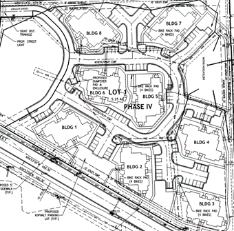
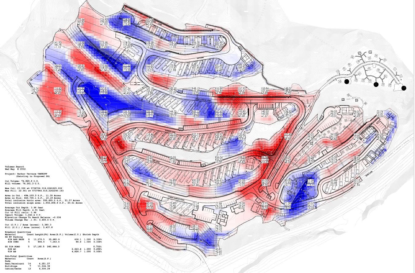
Contour mapping involves displaying land shapes and elevations on a map. Contour lines visualize hills, valleys, and slopes. The lines show a standard difference in elevation, like 1 foot. Lines closer together show steep elevation, while spaced lines indicate a flatter surface. Contour maps provide a detailed representation of a terrain’s 3D surfaces.
The process of creating contour maps involves collecting data about the existing landscape through site surveying. The collected data gets processed by our engineers and data experts. They find the differences in elevation between points. These differences in elevation provide the necessary information to create contour lines. After making lines, we refine them into a finished map.
Contour mapping has many advantages for construction tasks. It allows teams to plan more effectively around the existing terrain conditions. Contour maps enable construction teams to use the land’s slopes and contours to their advantage rather than working against them. These maps provide a visual reference for stakeholders.
Route and transportation planners, architects and real estate contractors benefit from contour maps. These maps provide essential information for site analysis, grading and earthworks, foundation design, utility placement and landscaping. Many industries use contour mapping, including:
- Road construction
- Commercial buildings
- Recreational area design
- Residential development
- Infrastructure
How TOPs Creates Contour Maps
At TOPs, we use collected site data to create contour maps with distances, angles and contour lines. We focus on accurate and reader-friendly maps in your desired formats so that they integrate seamlessly into your existing processes. Our teams can even take raster topographic files and compute vector maps to serve your planning and building processes.
Data Collection
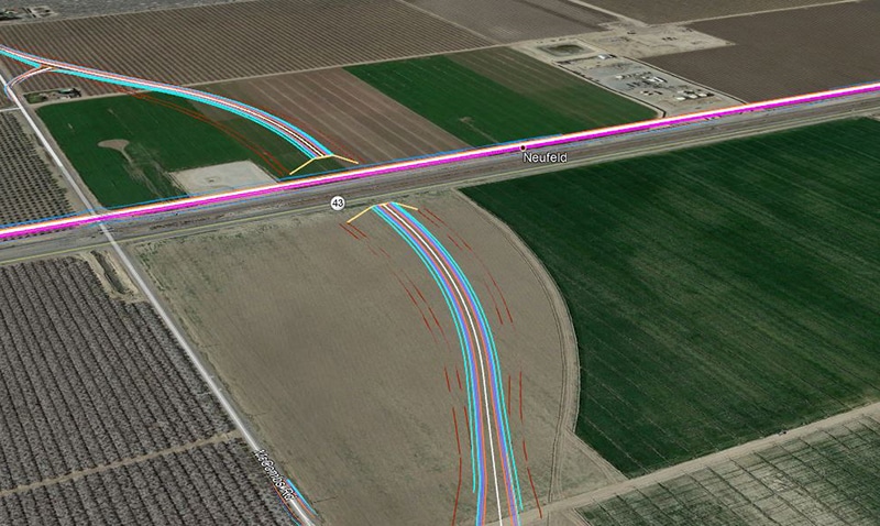
Before creating a contour map, we need details about the existing job site. Data collection takes place through field surveying. Teams might work on the ground using GPS or total stations. They can also utilize advanced mapping technologies like drones or planes with light detection and ranging (LiDAR) capabilities to capture large land areas quickly.
We supplement site survey data with other information like aerial imagery. Our teams might reference existing maps, geographic information system (GIS) data or other relevant site information to get a more accurate and detailed picture of the existing landscape.
Data Processing
After collecting extensive data about an area, we compile the data into a single source through data processing. This single digital dataset allows us to create an accurate contour map. Our teams compile this dataset through interpolation. We find the difference between points to create a continuous surface model. This unified digital model allows for straightforward manipulation and contour data analysis throughout the following stages of contour mapping.
Contour Generation
Once we have a completed continuous surface model, we can use the model to generate contour maps. We may perform this task in various software programs like ArcGIS, AutoCAD Civil 3D, Carlson, MicroStation, Trimble Business Center or SketchUp. The contour generation software we use may depend on the data types collected during site surveys. It may also depend on each client’s requirements.
In these programs, we input the processed data to generate contour lines. Once we have created lines, we may adapt the contour intervals. The intervals used vary based on the map’s scale and the terrain’s complexity. Intervals often range between a few inches and a few feet. We’ll determine an effective interval to ensure you can work with the model visually. During this stage, we review and refine contours for accuracy and consistency.


Map Production
Once we have set contour intervals that suit the complexity and scale of your job site, we move toward the final map production. During this stage, we include detailed elevation and contour line information. Our team can add details as necessary to complete the map according to your preferences. Labels, scales or legends can enhance readability, making the finished map more effective in guiding your design and building process.
How Contour Maps Serve Your Operation
From supporting site planning to enhancing communication about a job site, contour maps serve a valuable role in construction industries. These maps provide a reference source to see the landscape, giving you a better perspective on your job site than you might get from walking the site or looking at flat maps. Here are a few ways contour maps assist teams throughout multiple stages of the building planning process.
Better Site Analysis and Planning
Professionals use contour maps to analyze terrain, slope, elevation and site features during the planning stages of a project. Their analysis using contour maps makes the design and construction process more efficient. They learn details about the site, which allows them to find the best places to place roads, utilities or other structures.
A contour map allows them to use the natural curves and dips in the land rather than working against the natural landscape. Using existing site features can reduce the amount of site preparation necessary and minimize costly adjustments in later building stages.


Improved Drainage and Grading
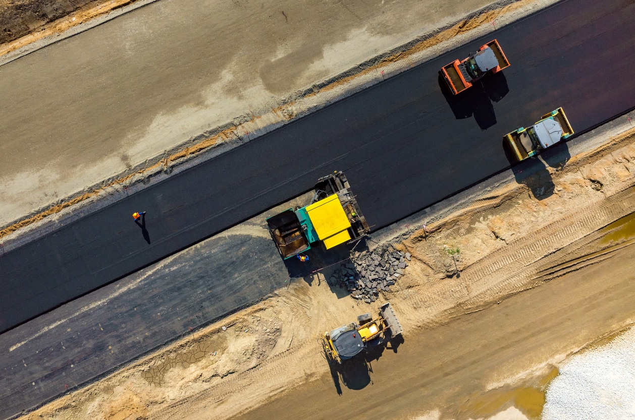
Proper job site drainage can prevent erosion and allow structures built on the land to last longer. Contour maps improve drainage and grading by enabling you to plan for slope gradients and water runoff. Planners can use site elevation details to create more stable builds with better longevity.
Accurate Foundation Design
Understanding the existing natural structures allows for more effective foundation designs. These foundations will provide better support when they account for slopes in the existing landscape. Engineers can use these maps to plan around the terrain and ensure stability and load-bearing in the structures they build. Precise foundation placement enhances the construction process and limits structural issues in the completed build.

Enhanced Visualization and Communication
Stakeholders use contour maps to understand a site’s topography, layout and potential challenges. These maps provide a practical visual that all teams can reference without stepping foot on the job site. Project teams, clients and other authorities involved in the project can refer to this map to discuss design considerations and modifications. The map provides a single reference source for everyone working on a project.
Three Simple Steps to Begin Your Project
To get started with TOPS, you just need to follow three easy steps:

Step 1: CAD Files
Provide the CAD files for the project in formats like AutoCAD .DXF and .DWG, among others. Files can be uploaded to their FTP site or shipped with the paper plans.

Step 2: Paper Plans
If sending paper plans, they will scan and store them electronically. You can transmit the scans or ship the paper plans.

Step 3: Work Order
Fill out a data prep work order on their website with the details of your scope of work. TOPS can accommodate various needs; just specify how you want the job to look.
Ready to discuss your project?

The Advantages TOPs Provides
At Take-off Professionals, we bring the expertise of a company with over 20 years of experience in using site data to create maps and models your team can use for construction. We work with full-time employees, rather than subcontractors, to provide consistent, high-quality work that enhances your planning and construction processes. Our teams are spread across three time zones, providing nationwide coverage and timely service across the United States.
Our seasoned experts are experienced with various software programs, giving them the versatility to accommodate your project. We can create models in a particular program or format your operation requires. TOPs also has a proprietary work order platform to streamline tracking and communication. This solution lets our clients add notes, files and other critical project information to their accounts. We also use it to communicate and keep clients up to date on the progress of projects.
Industries We Serve
At TOPS, we have extensive experience working across a wide range of industry sectors to provide expert data preparation, modeling, and analysis services. Our team of experienced professionals is adept at tailoring our solutions to meet the unique needs of clients in several different industries.
Contact Us Online for 3D Structure Excavation Models
Take-off Professionals employs a team of knowledgeable and experienced engineers, surveyors and 3D technicians to provide 3D modeling services. We’ll transform your raw site data into a highly accurate 3D structure excavation model. You can use this model for machine control. It also keeps all stakeholders on the same page throughout the planning and excavation process.
Our team takes on projects of any size. Get more details about our services and share your excavation project by contacting us online.

