JUMP TO SECTION
Overcoming Challenges in 3D Utility Data Collection and Analysis
The use of 3D utility data, which provides a realistic and comprehensive representation of the site’s underground space, is becoming increasingly widespread in construction and infrastructure projects for several reasons. It offers more depth and detail than traditional 2D maps, which enhances project planning and design capabilities. The process also fosters collaboration between all stakeholders, which can improve project results.
The use of 3D utility data, which provides a realistic and comprehensive representation of the site’s underground space, is becoming increasingly widespread in construction and infrastructure projects for several reasons. It offers more depth and detail than traditional 2D maps, which enhances project planning and design capabilities. The process also fosters collaboration among all stakeholders, which can lead to improved project results.
3D utility data collection and analysis can also pose specific challenges for civil engineering and construction projects. Examples include subsurface detection limitations that can impede accuracy, data fusion difficulties, and inconsistent results resulting from a lack of standardization.
The Importance of Accurate 3D Utility Data
Maximum accuracy when collecting 3D utility data is crucial to the success of these projects for several reasons:
- Prevents accidents: Knowing the exact position of underground utilities can prevent accidental line strikes.
- Increases efficiency: Design engineers can use the data to plan underground infrastructure more efficiently.
- Minimizes delays: Accurate data reduces the likelihood of contractors encountering unexpected issues that cause costly delays and rework.
- Ensures better asset management: Access to precise 3D location and condition data facilitates easier monitoring and maintenance of utility networks.
- Improves decision-making: Project managers and other professionals can make more informed decisions during the planning and execution phases.
Common Challenges in 3D Utility Data Collection
The many challenges inherent in 3D data collection can include:
- Inadequate records: The process often relies on legacy data supplied by the utility company, which is frequently inaccurate or incomplete.
- Inaccessibility: The location of subsurface utilities or the presence of underground obstacles can make it challenging for technologies such as ground-penetrating radar and electromagnetic sensors to detect them.
- Time-consuming: Scanning beneath the surface and collecting and processing the accumulated data can be time-consuming, potentially causing lengthy project delays without careful planning.
- Equipment costs: Purchasing the equipment requires an upfront investment that may not fit the budget of some businesses. Additionally, the 3D data collection process requires skilled surveyors and data analysts, which can lead to additional expenses.
Overcoming Data Collection Barriers
The implementation of several targeted strategies can mitigate various 3D data collection and utility mapping challenges:
- Deploy multiple technologies: Combining several technological tools, such as GPR, electromagnetic induction, and GPS, can increase accuracy by compensating for the individual limitations of each method.
- Use standardized data formats: Adopting or aligning with ASCE 38-22 and other industry standards can ensure consistent quality levels in utility investigations and promote seamless data integration.
- Integrate data into workflows: Embedding 3D utility data into design and construction workflows helps to prevent field conflicts before the work begins.
Having highly skilled personnel is also essential when overcoming barriers to 3D utility data collection. Practical training is the cornerstone of a productive and efficient team. The training should focus on crucial areas, including the appropriate use of 3D utility mapping tools and data interpretation. The result will be substantial improvements in data acquisition accuracy.
Challenges in 3D Utility Data Analysis
Many challenges can also occur when accurately analyzing the collected 3D utility data:
- Data overload: Modern data collection technologies can accumulate so much information that it can be difficult to determine what is relevant and what can be discarded.
- Fusion and alignment issues: The use of multiple datasets can lead to misalignment, causing incorrect interpretation.
- Integration of multiple sources: While implementing various technologies can be effective during the data collection phase, it can also create overlapping and other issues that hinder analysis.
- Low-quality data: Using outdated legacy data from the utility company is an example of when poorly sourced or inaccurate information can lead to erroneous analysis.
- No standardization: The lack of standardization in accuracy metrics, due to the absence of universal guidelines, contributes to analysis issues that impact project results.
Solutions for Effective Data Analysis
Utilizing advanced software tools is one reliable and cost-effective solution for optimizing 3D utility data analysis outcomes. One example is innovative data collection and processing tools that can transform raw field data into accurate 3D representations, significantly reducing the risk of interpretation error. Subsurface utility modeling is another practical option that can generate engineering-grade 3D models.
Various GIS and geospatial integration tools are available, enabling you to maintain accurate spatial utility records that are easily updated as needed. You can also implement data integration and interoperability tools that simplify analysis by breaking down data formatting silos.
The human aspect plays a significant role in the results of data analysis. Adhering to best practices in critical areas, such as quality control, validation, and a collaborative review process involving all data analysts and stakeholders, ensures the best outcomes.
Integrated Utility Data Management Systems
A wide range of integrated utility data management systems is available to consolidate multiple data streams into a single system, facilitating the collection and analysis process. All stakeholders on construction and infrastructure projects can gain a comprehensive view of their operations, enhance data management capabilities, and make more informed decisions.
Available system options include:
- Centralized platforms: These systems collect and integrate data from various platforms, including LiDAR, GPR, and GPS, to construct precise, georeferenced models of underground infrastructure. They also facilitate multiuser workflows with version control for enhanced data organization. Additionally, they can identify conflicts between utilities and the proposed structures.
- Cloud-based platforms: A cloud-based 3D utility data management system is hosted on a secure, scalable web-based infrastructure that is available from anywhere via an internet browser or mobile app. It enables real-time collaboration between engineers, designers, and project managers in the field. Other benefits include role-based user access within teams, shared access to a centralized information source, and enhanced, project-wide visibility.
Best Practices for 3D Utility Data Projects
Following these tips and recommendations can optimize your 3D utility data collection and analysis practices:
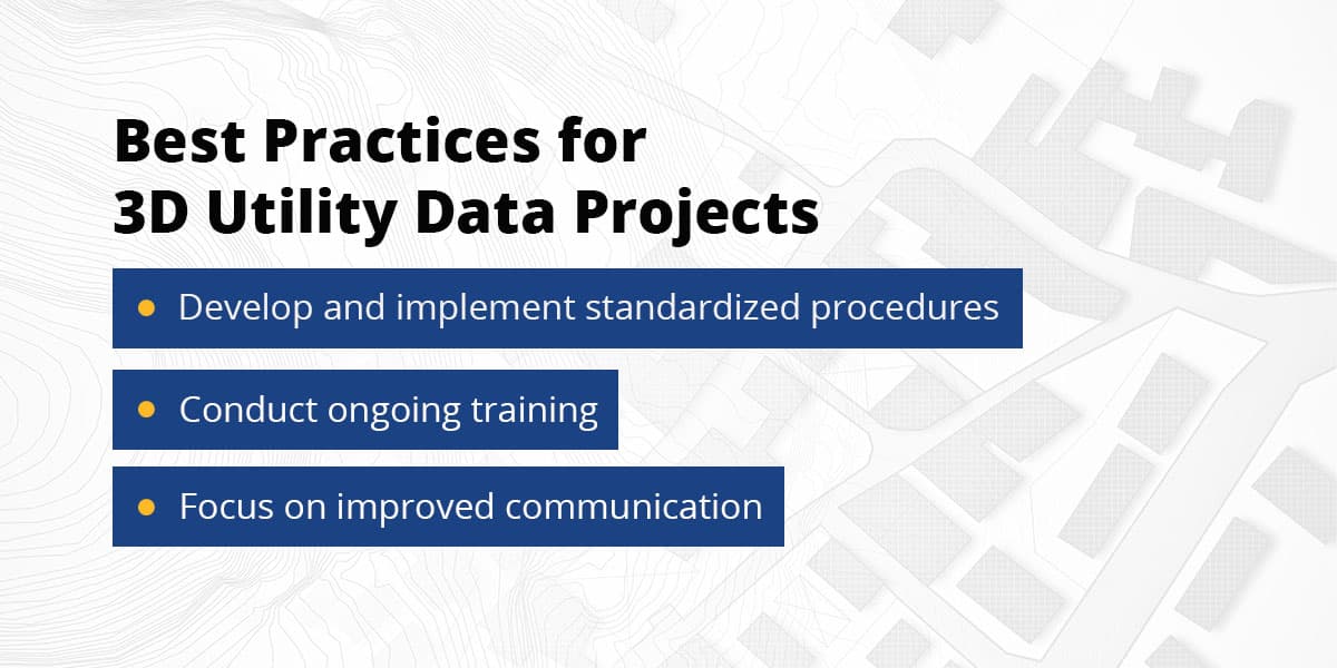
- Develop and implement standardized procedures: Establishing standard data collection and analysis methods ensures consistent data quality across all teams and stakeholders. Creating a utility data collection manual and adopting the industry quality standards are two ways to accomplish this goal.
- Conduct ongoing training: 3D utility data technology is continuously evolving. Regular training on updates to GPR and LiDAR operation, as well as other data platforms, is crucial for staying current on the latest industry software tools.
- Focus on improved communication: Preventing gaps in communication can reduce the risk of human errors that can lead to costly project delays and overruns. Utilizing collaborative cloud platforms, scheduling regular coordination check-ins, and implementing feedback loops are effective methods for effective communication.
Contact Take-off Professionals to Learn More
Overcoming various challenges in 3D utility data collection and analysis is crucial to the success of your operation. Your willingness to embrace advanced technologies and best practices can help you achieve this objective.
At Take-off Professionals, we are committed to helping you confront challenges directly and broaden your data processing capabilities. Are you ready to transform your 3D utility data? Contact our team today, and let’s discuss how our innovative solutions can benefit you!