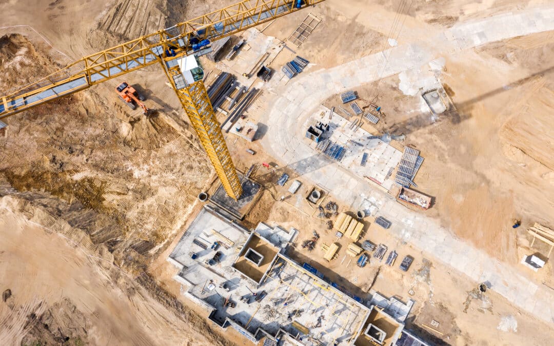
Integrating Drone Data Into 3D Construction Modeling: Workflow and Advantages
Drone technology and AI innovations continue to redefine how the world communicates, shares data and runs efficiently. Like all industries, construction is seeing the real-time benefits of an innovative 3D model and how it can reduce errors while improving efficiency....
From CAD to Field: The Journey of a Construction Model
Accurate digital models are the backbone of the modern construction industry. Dynamic and interactive technology, such as computer-aided design (CAD), allows for the creation of highly detailed and accurate visual representations of a structure. Yet, the journey of a...
The Role of 3D Models in Quality Assurance for Roadwork Projects
The Role of 3D Models in Quality Assurance for Roadwork Projects Quality assurance (QA) is crucial to any successful roadwork project. Every lane mile must meet strict safety and durability standards, while operations stay on schedule and within budget. As projects...
Machine Control Data for Multibrand Fleets: Eliminating Compatibility Friction
Machine Control Data for Multibrand Fleets: Eliminating Compatibility Friction Construction companies and contractors utilize mixed-brand equipment fleets for many reasons. Choosing models from several manufacturers enables machine diversification and flexibility,...
Accelerating Project Schedules With Preconstruction 3D Modeling
Accelerating Project Schedules With Preconstruction 3D Modeling In construction, seeing the big picture is critical for illustrating the overall vision and detecting issues. Starting this process early helps prevent project rework and delays. Achieving this overall...
Overcoming Challenges in 3D Utility Data Collection and Analysis
Overcoming Challenges in 3D Utility Data Collection and Analysis The use of 3D utility data, which provides a realistic and comprehensive representation of the site's underground space, is becoming increasingly widespread in construction and infrastructure projects...
How Digital Surface Models Enhance Construction Planning
How Digital Surface Models Enhance Construction Planning As data collection and 3D modeling become more advanced, options such as digital surface models (DSMs) have become increasingly common in construction planning. Modern construction projects need to be planned...

Leveraging 3D Paving Models for Traffic Flow Optimization
3D paving models enhance the efficiency of urban planners, architects and other professionals by providing precise, visual representations of paving layouts. By integrating real-time data and simulations, these models enable engineers to optimize traffic flow, reduce...

How 3D Models Reduce Costs and Increase Efficiency in Excavation Projects
3D modeling technology enhances excavation efficiency by enabling precise site mapping, which saves time and costs. When combined with real-time technologies such as GPS, these plans automate parts of the excavation process, minimizing errors and rework. Some barriers...

How GPS Technology Integrates With 3D Modeling
Global positioning systems (GPS) and 3D modeling technology integration is transforming the construction industry, making operations more precise and efficient. 3D models provide visual project plan representations and precise layouts, and you can now pair this...
