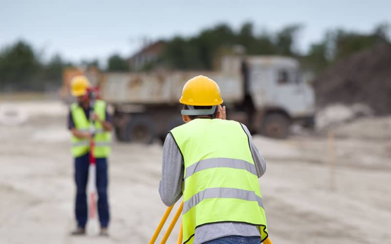
Construction surveying is an integral part of the build process. Ensure that you’re completing the steps correctly to make your property safe and functional.
What Is Construction Surveying?
Construction surveying is staking out or determining reference points for the construction process. Construction surveying is about seeing what is already on the location. These items could be anything from patches of trees to existing buildings.
Construction surveying is also used to determine where the location of any new buildings should go. Keeping all of this information organized is vital to the construction process.
Why Is Construction Surveying Necessary?
When you start on new construction, you want to ensure that your plans will come out the way you intended. You need to know how to execute them to match your vision, keep your workers safe and follow any laws and guidelines. Construction surveys help you determine the safety of the land where you want to place a building, roadway or bridge.
Construction surveying allows you to better understand the area you have to work with. Ensuring the location is viable for the new build is vital to keeping workers, partners and clients safe during future use.
What Should Be Included in a Construction Survey?
You should include several elements in the construction survey process, including:
- A basic border survey that marks where your property ends and another begins.
- Some information on easements, other building locations, underground structures or utilities.
- An outline of the elevations and contours of the land.
- A plan of where new facilities and roads will go.
- A reexamination of the finished project to see how closely it aligns with the measurements.
What Equipment Do Construction Surveyors Use?
Gathering all the information listed above requires specialized equipment. Some of the machines and tools construction surveyors use include:
- Levels and theodolites: Surveyors use these instruments to measure angles, horizontal and vertical slopes.
- Electronic distance measurement: Surveyors may also choose to use these computerized tools to take measurements.
- Global positioning systems (GPS): Surveyors use GPS devices to measure and collect information about the land.
- Geographic information systems (GIS): Surveyors can use these devices to create visual maps that represent all of the data they collect.
Contact Take-off Professionals About Construction Surveying Today
At Take-off Professionals, we understand the importance of accurate construction surveying on your next project. We are a team of full-time professionals who build 3D models for your construction jobs. Our only focus is to take your data and create something visual from it.
We have a platform that you can use to access your data and add other files and notes. Take-off Professionals has been in business for over 20 years, and we work on a national scale. We work on around 1000 3D models for machine controls every year. Our team provides detailed quotes and fast turnaround times, so you know exactly what you’re getting when you partner with us.
Contact us online today or call us at 623-323-8441 for more information about our services.

